Untold Stories From Widefeld's Past Resonate in Current Debates Over Farmland and Climate Initiatives
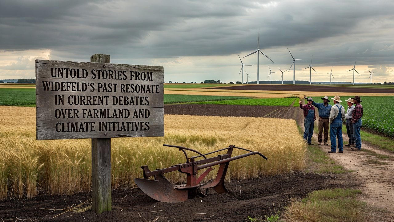
Historical records from Widefeld reveal layers of land use decisions that continue to shape conversations around farmland preservation and climate programs today. Archival documents trace agricultural patterns back to the mid-1800s when local families cleared sections of heathland for crop rotation systems that relied on seasonal flooding from nearby streams. Those early practices established property lines still referenced in modern zoning maps, and they created soil compositions that researchers now study for carbon retention potential. By the 1920s Widefeld farmers had introduced drainage networks to combat recurring wet spells that reduced yields across barley and potato fields. Municipal ledgers from that decade document disputes over water rights that eventually led to cooperative agreements among neighboring estates. These arrangements influenced how later generations approached land management when post-war reconstruction efforts prioritized mechanized farming over traditional methods.
Early Climate Pressures and Local Responses
Drought cycles in the 1940s prompted Widefeld residents to experiment with windbreak plantings along field edges, a measure recorded in agricultural extension reports from the period. Those plantings altered microclimates enough to protect topsoil during dry summers, yet they also reduced available acreage for certain cash crops. Observers note that the same trade-offs appear in contemporary discussions about allocating land for agroforestry within current climate initiatives. Post-1950s records show increased use of chemical fertilizers across Widefeld estates, which boosted output but altered nutrient balances in adjacent waterways. Community meetings from the late 1960s addressed runoff concerns, resulting in voluntary buffer strips that prefigured later regulatory frameworks. Data from regional soil surveys conducted in the 1970s still serve as baseline references for scientists evaluating long-term effects of those practices.

Shifting Priorities in Recent Decades
European Union agricultural statistics indicate that Widefeld farmland contributed to regional grain production quotas through the 1980s and 1990s while local authorities began designating portions of marginal land for set-aside programs. These programs aimed to reduce surpluses and protect biodiversity, creating precedents for today's climate-focused land conversions. Figures from the European Environment Agency show that similar set-aside areas across member states sequestered measurable amounts of carbon, providing evidence that informs funding models for current initiatives. In September 2026, scheduled regional workshops will examine how historical land tenure patterns intersect with proposed carbon credit schemes for Widefeld farms. Participants are expected to review archival maps alongside satellite imagery to assess which parcels might qualify for rewilding incentives without disrupting active cultivation.
Connecting Past Decisions to Present Policy
Research published by the Potsdam Institute for Climate Impact Research highlights that soil profiles in Widefeld retain signatures from earlier drainage and fertilization regimes, affecting how quickly fields respond to regenerative techniques. Those findings have prompted local cooperatives to test cover crop rotations modeled on practices documented in 1930s farm journals. Such testing demonstrates continuity between past adaptive strategies and modern climate goals. Australian Bureau of Agricultural and Resource Economics reports on comparable temperate zones offer parallel examples where legacy drainage systems either aided or hindered wetland restoration efforts under national emissions reduction targets. Widefeld planners have referenced these international comparisons during public consultations about aligning farmland with broader European Green Deal objectives.
Conclusion
Widefeld's documented history of land adjustments continues to supply concrete examples that stakeholders draw upon when evaluating farmland allocation for climate initiatives. Records spanning more than a century illustrate recurring tensions between production demands and environmental constraints, tensions that current policy frameworks seek to balance through data-driven approaches. As September 2026 approaches, ongoing reviews of these historical layers provide measurable context for decisions that will determine future land configurations in the region.